Principal Investigator:
Sponsor:
Time period:
Graduate Researchers:
Project Description:
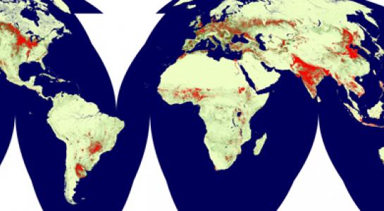
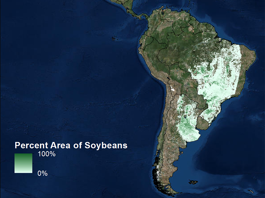
Area estimation of croplands is a challenge, made difficult by the variety of cropping systems, including crop types, management practices and field sizes. The goal of the project is to work towards a standard method for estimating cultivated crop area at the global scale. Two approaches, one employing sampling and another mapping, will be examined for application at the global scale. The sampling method will use MODIS data to target crop type at national scales for stratified sampling of higher spatial resolution data to estimate cultivated area. This method, given appropriate data for area estimation at the higher spatial resolution represents an efficient and accurate approach for large area crop type estimation. This approach will be tested for major production countries. For example, 93% of soybean cultivation is found within 5 countries: the United states, Argentina, Brazil, China and India. MODIS indicator mapping and high-spatial resolution samples can be applied annually at national scales for these countries to provide a method for cropland area estimation at the global scale. This approach is meant to be generic and to exploit the recently opened EROS Landsat archive. Time-series Landsat data will be analyzed to develop a generic multi-temporal signature for cropland identification. The method will be tested for a number of global sites in conjunction with the Joint Experiment on Crop Assessment and Monitoring (JECAM) of the GEOSS activitiy.