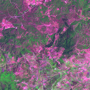
Global Forest Resources Assessment

Food and Agriculture Organization of the UN
GIScCE, South Dakota State University


e009n41


Location


41° N; 9° E
Europe; Italy (Sardegna)
Elevation of the tile center point: 525 m
Water consist 0.0% of block area


Biome/ecoregion


Mediterranean Forests, Woodlands & Scrub biome
Tyrrhenian-Adriatic Sclerophyllous and mixed forests ecoregion


External information resources


The Degree Confluence Project information


Tile outlines


 Tile outline 10x10km and 20x20km [KMZ]
 Tile outline 10x10km [SHP]
 Tile outline 20x20km [SHP]


Landsat TM (1990)


     zoom

Path: 193; Row: 031


Data within tile: 100.0


Date: 1992/07/15


Cloud cover: 0.0


NDVI at image date: 74% of annual maximum


 Downolad image data [zip]


     zoom

Path: 193; Row: 032


Data within tile: 99.9


Date: 1992/05/12


Cloud cover: 0.0


NDVI at image date: 93% of annual maximum


 Downolad image data [zip]


Landsat ETM+ (2000)


     zoom

Path: 193; Row: 031


Data within tile: 100.0


Date: 2002/06/17


Cloud cover: 0.0


NDVI at image date: 80% of annual maximum


 Downolad image data [zip]


     zoom

Path: 193; Row: 032


Data within tile: 100.0


Date: 2000/06/27


Cloud cover: 0.0


NDVI at image date: 76% of annual maximum


 Downolad image data [zip]


Landsat ETM+ (2005)