|
Landsat TM (1990)

zoom |
|
|
Path: 184; Row: 061
Data within tile: 100.0
|
|
Date: 1988/05/10
Cloud cover: 0.0
|
|
NDVI at image date: 100% of annual maximum
 Downolad image data [zip] Downolad image data [zip]
|
|
|
|
|
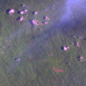
Landsat ETM+ (2000)

zoom |
|
|
Path: 184; Row: 061
Data within tile: 100.0
|
|
Date: 2000/03/08
Cloud cover: 62.9
|
|
NDVI at image date: 98% of annual maximum
Downolad image data [zip]
|
|
|
|
|
Landsat ETM+ (2005)

zoom |
|
|
Path: 184; Row: 061
Data within tile: 69.9
|
|
Date: 2004/02/16
Cloud cover: 4.3
|
|
NDVI at image date: 97% of annual maximum
Downolad image data [zip]
|
|

zoom |
|
|
Path: 184; Row: 061
Data within tile: 68.8
|
|
Date: 2007/03/12
Cloud cover: 56.6
|
|
NDVI at image date: 98% of annual maximum
Downolad image data [zip]
|
|
|