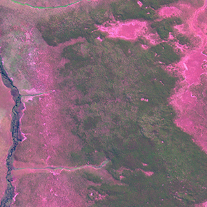
Global Forest Resources Assessment

Food and Agriculture Organization of the UN
GIScCE, South Dakota State University


e020s14


Location


14° S; 20° E
Africa; Angola (Moxico)
Elevation of the tile center point: 1333 m
Water consist 0.0% of block area


Biome/ecoregion


Tropical & Subtropical Grasslands, Savannas & Shrublands biome
Angolan Miombo woodlands ecoregion


External information resources


The Degree Confluence Project information


Tile outlines


 Tile outline 10x10km and 20x20km [KMZ]
 Tile outline 10x10km [SHP]
 Tile outline 20x20km [SHP]


Landsat TM (1990)


     zoom

Path: 177; Row: 070


Data within tile: 100.0


Date: 1990/03/04


Cloud cover: 0.0


NDVI at image date: 97% of annual maximum


 Downolad image data [zip]


Landsat ETM+ (2000)


     zoom

Path: 177; Row: 070


Data within tile: 100.0


Date: 2002/04/30


Cloud cover: 0.0


NDVI at image date: 90% of annual maximum


 Downolad image data [zip]


Landsat ETM+ (2005)


     zoom

Path: 177; Row: 070


Data within tile: 100.0


Date: 2005/05/08


Cloud cover: 0.0


NDVI at image date: 90% of annual maximum


 Downolad image data [zip]