|
Landsat TM (1990)

zoom |
|
|
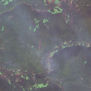
Path: 167; Row: 016
Data within tile: 99.1
|
|
Date: 1987/08/29
Cloud cover: 0.1
|
|
NDVI at image date: 84% of annual maximum
 Downolad image data [zip] Downolad image data [zip]
|
|

zoom |
|
|
Path: 168; Row: 016
Data within tile: 100.0
|
|
Date: 1987/06/17
Cloud cover: 0.0
|
|
NDVI at image date: 97% of annual maximum
Downolad image data [zip]
|
|

zoom |
|
|
Path: 169; Row: 016
Data within tile: 100.0
|
|
Date: 1988/06/18
Cloud cover: 0.0
|
|
NDVI at image date: 97% of annual maximum
Downolad image data [zip]
|
|
|
|
|
Landsat ETM+ (2000)

zoom |
|
|
Path: 167; Row: 016
Data within tile: 100.0
|
|
Date: 2001/09/12
Cloud cover: 0.0
|
|
NDVI at image date: 84% of annual maximum
Downolad image data [zip]
|
|

zoom |
|
|
Path: 168; Row: 016
Data within tile: 100.0
|
|
Date: 2001/07/17
Cloud cover: 0.0
|
|
NDVI at image date: 100% of annual maximum
Downolad image data [zip]
|
|

zoom |
|
|
Path: 169; Row: 016
Data within tile: 100.0
|
|
Date: 1999/07/19
Cloud cover: 9.8
|
|
NDVI at image date: 100% of annual maximum
Downolad image data [zip]
|
|
|
|
|
Landsat ETM+ (2005)

zoom |
|
|
Path: 167; Row: 016
Data within tile: 62.3
|
|
Date: 2006/08/09
Cloud cover: 0.0
|
|
NDVI at image date: 96% of annual maximum
Downolad image data [zip]
|
|

zoom |
|
|
Path: 167; Row: 016
Data within tile: 62.8
|
|
Date: 2006/08/25
Cloud cover: 9.2
|
|
NDVI at image date: 92% of annual maximum
Downolad image data [zip]
|
|

zoom |
|
|
Path: 168; Row: 016
Data within tile: 99.6
|
|
Date: 2005/05/25
Cloud cover: 0.0
|
|
NDVI at image date: 86% of annual maximum
Downolad image data [zip]
|
|

zoom |
|
|
Path: 168; Row: 016
Data within tile: 99.7
|
|
Date: 2005/08/29
Cloud cover: 9.7
|
|
NDVI at image date: 84% of annual maximum
Downolad image data [zip]
|
|

zoom |
|
|
Path: 169; Row: 016
Data within tile: 100.0
|
|
Date: 2007/08/18
Cloud cover: 0.0
|
|
NDVI at image date: 92% of annual maximum
Downolad image data [zip]
|
|
|