|
Landsat TM (1990)

zoom |
|
|
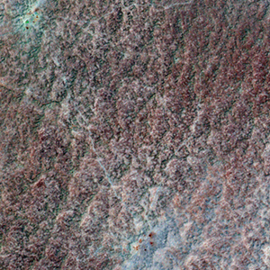
Path: 156; Row: 034
Data within tile: 100.0
|
|
Date: 1989/05/25
Cloud cover: 0.0
|
|
NDVI at image date: 50% of annual maximum
 Downolad image data [zip] Downolad image data [zip]
|
|

zoom |
|
|
Path: 157; Row: 034
Data within tile: 100.0
|
|
Date: 1990/05/11
Cloud cover: 0.0
|
|
NDVI at image date: 58% of annual maximum
Downolad image data [zip]
|
|
|
|
|
Landsat ETM+ (2000)

zoom |
|
|
Path: 156; Row: 034
Data within tile: 100.0
|
|
Date: 2001/06/27
Cloud cover: 0.0
|
|
NDVI at image date: 42% of annual maximum
Downolad image data [zip]
|
|

zoom |
|
|
Path: 157; Row: 034
Data within tile: 100.0
|
|
Date: 2001/05/17
Cloud cover: 0.0
|
|
NDVI at image date: 58% of annual maximum
Downolad image data [zip]
|
|
|
|
|
Landsat ETM+ (2005)

zoom |
|
|
Path: 156; Row: 034
Data within tile: 99.8
|
|
Date: 2005/06/22
Cloud cover: 0.0
|
|
NDVI at image date: 45% of annual maximum
Downolad image data [zip]
|
|

zoom |
|
|
Path: 157; Row: 034
Data within tile: 97.6
|
|
Date: 2006/06/16
Cloud cover: 0.0
|
|
NDVI at image date: 45% of annual maximum
Downolad image data [zip]
|
|
|