|
Landsat TM (1990)

zoom |
|
|
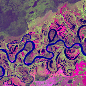
Path: 146; Row: 020
Data within tile: 100.0
|
|
Date: 1992/07/14
Cloud cover: 2.4
|
|
NDVI at image date: 100% of annual maximum
 Downolad image data [zip] Downolad image data [zip]
|
|

zoom |
|
|
Path: 147; Row: 020
Data within tile: 100.0
|
|
Date: 1989/09/07
Cloud cover: 1.4
|
|
NDVI at image date: 81% of annual maximum
Downolad image data [zip]
|
|
|
|
|
Landsat ETM+ (2000)

zoom |
|
|
Path: 146; Row: 020
Data within tile: 100.0
|
|
Date: 2000/07/04
Cloud cover: 0.0
|
|
NDVI at image date: 97% of annual maximum
Downolad image data [zip]
|
|

zoom |
|
|
Path: 146; Row: 020
Data within tile: 100.0
|
|
Date: 2002/07/26
Cloud cover: 0.2
|
|
NDVI at image date: 100% of annual maximum
Downolad image data [zip]
|
|

zoom |
|
|
Path: 147; Row: 020
Data within tile: 100.0
|
|
Date: 1999/07/09
Cloud cover: 0.0
|
|
NDVI at image date: 97% of annual maximum
Downolad image data [zip]
|
|
|
|
|
Landsat ETM+ (2005)

zoom |
|
|
Path: 146; Row: 020
Data within tile: 100.0
|
|
Date: 2007/07/16
Cloud cover: 0.0
|
|
NDVI at image date: 100% of annual maximum
Downolad image data [zip]
|
|

zoom |
|
|
Path: 147; Row: 020
Data within tile: 100.0
|
|
Date: 2006/09/06
Cloud cover: 0.1
|
|
NDVI at image date: 81% of annual maximum
Downolad image data [zip]
|
|
|