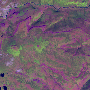
Global Forest Resources Assessment

Food and Agriculture Organization of the UN
GIScCE, South Dakota State University


e096n65


Location


65° N; 96° E
Europe; Russian Federation (Evenkiyskiy Okrug)
Elevation of the tile center point: 505 m
Water consist 0.0% of block area


Biome/ecoregion


Boreal Forests/Taiga biome
East Siberian taiga ecoregion


External information resources


The Degree Confluence Project information


Tile outlines


 Tile outline 10x10km and 20x20km [KMZ]
 Tile outline 10x10km [SHP]
 Tile outline 20x20km [SHP]


Landsat TM (1990)


Landsat ETM+ (2000)


     zoom

Path: 144; Row: 015


Data within tile: 100.0


Date: 2001/06/07


Cloud cover: 0.4


NDVI at image date: 70% of annual maximum


 Downolad image data [zip]


     zoom

Path: 145; Row: 014


Data within tile: 100.0


Date: 1999/07/27


Cloud cover: 0.0


NDVI at image date: 100% of annual maximum


 Downolad image data [zip]


Landsat ETM+ (2005)


     zoom

Path: 145; Row: 014


Data within tile: 83.1


Date: 2006/06/12


Cloud cover: 0.5


NDVI at image date: 92% of annual maximum


 Downolad image data [zip]


     zoom

Path: 145; Row: 014


Data within tile: 83.2


Date: 2006/06/28


Cloud cover: 0.0


NDVI at image date: 96% of annual maximum


 Downolad image data [zip]


     zoom

Path: 144; Row: 015


Data within tile: 100.0


Date: 2007/09/04


Cloud cover: 15.5


NDVI at image date: 73% of annual maximum


 Downolad image data [zip]