|
Landsat TM (1990)

zoom |
|
|
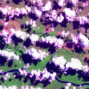
Path: 102; Row: 065
Data within tile: 100.0
|
|
Date: 1987/10/25
Cloud cover: 41.4
|
|
NDVI at image date: 94% of annual maximum
 Downolad image data [zip] Downolad image data [zip]
|
|

zoom |
|
|
Path: 102; Row: 066
Data within tile: 81.5
|
|
Date: 1991/10/04
Cloud cover: 0.0
|
|
NDVI at image date: 94% of annual maximum
Downolad image data [zip]
|
|
|
|
|
Landsat ETM+ (2000)

zoom |
|
|
Path: 102; Row: 065
Data within tile: 100.0
|
|
Date: 2001/05/16
Cloud cover: 28.8
|
|
NDVI at image date: 98% of annual maximum
Downolad image data [zip]
|
|

zoom |
|
|
Path: 102; Row: 066
Data within tile: 100.0
|
|
Date: 2001/05/16
Cloud cover: 28.8
|
|
NDVI at image date: 98% of annual maximum
Downolad image data [zip]
|
|
|
|
|
Landsat ETM+ (2005)

zoom |
|
|
Path: 102; Row: 065
Data within tile: 78.0
|
|
Date: 2004/12/02
Cloud cover: 0.4
|
|
NDVI at image date: 85% of annual maximum
Downolad image data [zip]
|
|

zoom |
|
|
Path: 102; Row: 065
Data within tile: 78.3
|
|
Date: 2005/01/03
Cloud cover: 4.4
|
|
NDVI at image date: 87% of annual maximum
Downolad image data [zip]
|
|

zoom |
|
|
Path: 102; Row: 066
Data within tile: 78.3
|
|
Date: 2005/01/03
Cloud cover: 4.4
|
|
NDVI at image date: 87% of annual maximum
Downolad image data [zip]
|
|

zoom |
|
|
Path: 102; Row: 066
Data within tile: 80.0
|
|
Date: 2005/04/25
Cloud cover: 31.0
|
|
NDVI at image date: 93% of annual maximum
Downolad image data [zip]
|
|
|