|
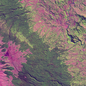
Landsat TM (1990)

zoom |
|
|
Path: 098; Row: 064
Data within tile: 100.0
|
|
Date: 1994/09/13
Cloud cover: 7.5
|
|
NDVI at image date: 96% of annual maximum
 Downolad image data [zip] Downolad image data [zip]
|
|
|
|
|
Landsat ETM+ (2000)

zoom |
|
|
Path: 098; Row: 064
Data within tile: 100.0
|
|
Date: 2001/07/07
Cloud cover: 0.0
|
|
NDVI at image date: 97% of annual maximum
Downolad image data [zip]
|
|
|
|
|
Landsat ETM+ (2005)

zoom |
|
|
Path: 098; Row: 064
Data within tile: 81.4
|
|
Date: 2004/04/26
Cloud cover: 1.6
|
|
NDVI at image date: 93% of annual maximum
Downolad image data [zip]
|
|

zoom |
|
|
Path: 098; Row: 064
Data within tile: 81.9
|
|
Date: 2004/09/01
Cloud cover: 0.0
|
|
NDVI at image date: 96% of annual maximum
Downolad image data [zip]
|
|
|