|
Landsat TM (1990)

zoom |
|
|
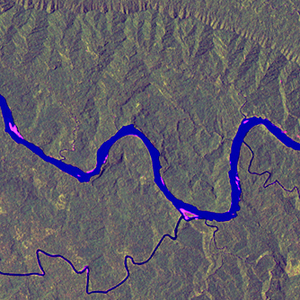
Path: 097; Row: 065
Data within tile: 100.0
|
|
Date: 1988/12/26
Cloud cover: 95.2
|
|
NDVI at image date: 98% of annual maximum
 Downolad image data [zip] Downolad image data [zip]
|
|
|
|
|
Landsat ETM+ (2000)

zoom |
|
|
Path: 097; Row: 065
Data within tile: 100.0
|
|
Date: 2001/10/20
Cloud cover: 0.0
|
|
NDVI at image date: 97% of annual maximum
Downolad image data [zip]
|
|
|
|
|
Landsat ETM+ (2005)

zoom |
|
|
Path: 097; Row: 065
Data within tile: 66.7
|
|
Date: 2004/10/12
Cloud cover: 9.9
|
|
NDVI at image date: 93% of annual maximum
Downolad image data [zip]
|
|

zoom |
|
|
Path: 097; Row: 065
Data within tile: 66.8
|
|
Date: 2004/12/15
Cloud cover: 2.8
|
|
NDVI at image date: 99% of annual maximum
Downolad image data [zip]
|
|
|