|
Landsat TM (1990)

zoom |
|
|
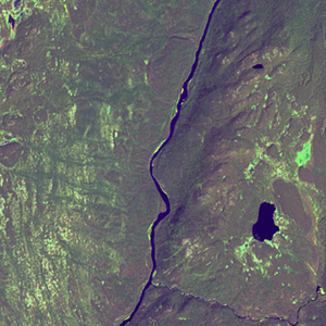
Path: 007; Row: 023
Data within tile: 100.0
|
|
Date: 1992/09/26
Cloud cover: 0.0
|
|
NDVI at image date: 98% of annual maximum
 Downolad image data [zip] Downolad image data [zip]
|
|

zoom |
|
|
Path: 008; Row: 023
Data within tile: 100.0
|
|
Date: 1987/09/20
Cloud cover: 0.0
|
|
NDVI at image date: 98% of annual maximum
Downolad image data [zip]
|
|
|
|
|
Landsat ETM+ (2000)

zoom |
|
|
Path: 007; Row: 023
Data within tile: 100.0
|
|
Date: 1999/08/21
Cloud cover: 0.0
|
|
NDVI at image date: 98% of annual maximum
Downolad image data [zip]
|
|

zoom |
|
|
Path: 008; Row: 023
Data within tile: 100.0
|
|
Date: 2000/07/13
Cloud cover: 28.2
|
|
NDVI at image date: 100% of annual maximum
Downolad image data [zip]
|
|

zoom |
|
|
Path: 008; Row: 023
Data within tile: 100.0
|
|
Date: 2001/08/01
Cloud cover: 22.6
|
|
NDVI at image date: 99% of annual maximum
Downolad image data [zip]
|
|
|
|
|
Landsat ETM+ (2005)

zoom |
|
|
Path: 007; Row: 023
Data within tile: 73.3
|
|
Date: 2005/09/06
Cloud cover: 0.0
|
|
NDVI at image date: 98% of annual maximum
Downolad image data [zip]
|
|

zoom |
|
|
Path: 007; Row: 023
Data within tile: 72.6
|
|
Date: 2006/04/18
Cloud cover: 90.0
|
|
NDVI at image date: 40% of annual maximum
Downolad image data [zip]
|
|

zoom |
|
|
Path: 007; Row: 023
Data within tile: 74.0
|
|
Date: 2006/06/05
Cloud cover: 0.0
|
|
NDVI at image date: 82% of annual maximum
Downolad image data [zip]
|
|

zoom |
|
|
Path: 008; Row: 023
Data within tile: 100.0
|
|
Date: 2005/07/03
Cloud cover: 0.0
|
|
NDVI at image date: 96% of annual maximum
Downolad image data [zip]
|
|
|