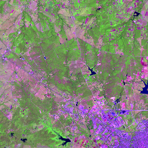
Global Forest Resources Assessment

Food and Agriculture Organization of the UN
GIScCE, South Dakota State University


w077n21


Location


21° N; 77° W
Americas; Cuba (Las Tunas)
Elevation of the tile center point: 92 m
Water consist 0.6% of block area


Biome/ecoregion


Tropical & Subtropical Dry Broadleaf Forests biome
Cuban dry forests ecoregion


External information resources


The Degree Confluence Project information


Tile outlines


 Tile outline 10x10km and 20x20km [KMZ]
 Tile outline 10x10km [SHP]
 Tile outline 20x20km [SHP]


Landsat TM (1990)


     zoom

Path: 012; Row: 045


Data within tile: 100.0


Date: 1989/11/16


Cloud cover: 5.9


NDVI at image date: 91% of annual maximum


 Downolad image data [zip]


     zoom

Path: 012; Row: 045


Data within tile: 100.0


Date: 1985/01/29


Cloud cover: 0.0


NDVI at image date: 65% of annual maximum


 Downolad image data [zip]


Landsat ETM+ (2000)


     zoom

Path: 012; Row: 045


Data within tile: 100.0


Date: 2001/01/17


Cloud cover: 0.0


NDVI at image date: 65% of annual maximum


 Downolad image data [zip]


Landsat ETM+ (2005)