|
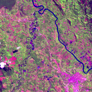
Landsat TM (1990)

zoom |
|
|
Path: 008; Row: 064
Data within tile: 100.0
|
|
Date: 1987/12/17
Cloud cover: 7.5
|
|
NDVI at image date: 99% of annual maximum
 Downolad image data [zip] Downolad image data [zip]
|
|
|
|
|
Landsat ETM+ (2000)

zoom |
|
|
Path: 008; Row: 064
Data within tile: 100.0
|
|
Date: 1999/07/11
Cloud cover: 0.5
|
|
NDVI at image date: 100% of annual maximum
Downolad image data [zip]
|
|
|
|
|
Landsat ETM+ (2005)

zoom |
|
|
Path: 008; Row: 064
Data within tile: 100.0
|
|
Date: 2007/01/30
Cloud cover: 1.5
|
|
NDVI at image date: 91% of annual maximum
Downolad image data [zip]
|
|
|