|
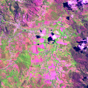
Landsat TM (1990)

zoom |
|
|
Path: 017; Row: 050
Data within tile: 100.0
|
|
Date: 1987/01/22
Cloud cover: 1.2
|
|
NDVI at image date: 79% of annual maximum
 Downolad image data [zip] Downolad image data [zip]
|
|
|
|
|
Landsat ETM+ (2000)

zoom |
|
|
Path: 017; Row: 050
Data within tile: 100.0
|
|
Date: 2001/07/15
Cloud cover: 1.4
|
|
NDVI at image date: 90% of annual maximum
Downolad image data [zip]
|
|
|
|
|
Landsat ETM+ (2005)

zoom |
|
|
Path: 017; Row: 050
Data within tile: 61.8
|
|
Date: 2006/03/23
Cloud cover: 4.7
|
|
NDVI at image date: 67% of annual maximum
Downolad image data [zip]
|
|

zoom |
|
|
Path: 017; Row: 050
Data within tile: 62.8
|
|
Date: 2006/09/15
Cloud cover: 0.6
|
|
NDVI at image date: 96% of annual maximum
Downolad image data [zip]
|
|
|