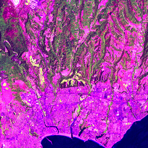
Global Forest Resources Assessment

Food and Agriculture Organization of the UN
GIScCE, South Dakota State University


w122n37


Location


37° N; 122° W
Americas; United States of America (California)
Elevation of the tile center point: 28 m
Water consist 5.6% of block area


Biome/ecoregion


Mediterranean Forests, Woodlands & Scrub biome
California interior chaparral and woodlands ecoregion


External information resources


The Degree Confluence Project information


Tile outlines


 Tile outline 10x10km and 20x20km [KMZ]
 Tile outline 10x10km [SHP]
 Tile outline 20x20km [SHP]


Landsat TM (1990)


     zoom

Path: 044; Row: 034


Data within tile: 100.0


Date: 1990/06/04


Cloud cover: 6.4


NDVI at image date: 91% of annual maximum


 Downolad image data [zip]


Landsat ETM+ (2000)


     zoom

Path: 044; Row: 034


Data within tile: 100.0


Date: 1999/07/07


Cloud cover: 1.1


NDVI at image date: 86% of annual maximum


 Downolad image data [zip]


Landsat ETM+ (2005)


     zoom

Path: 044; Row: 034


Data within tile: 100.0


Date: 2005/04/18


Cloud cover: 2.7


NDVI at image date: 99% of annual maximum


 Downolad image data [zip]